

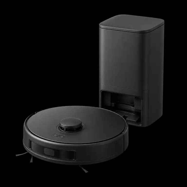
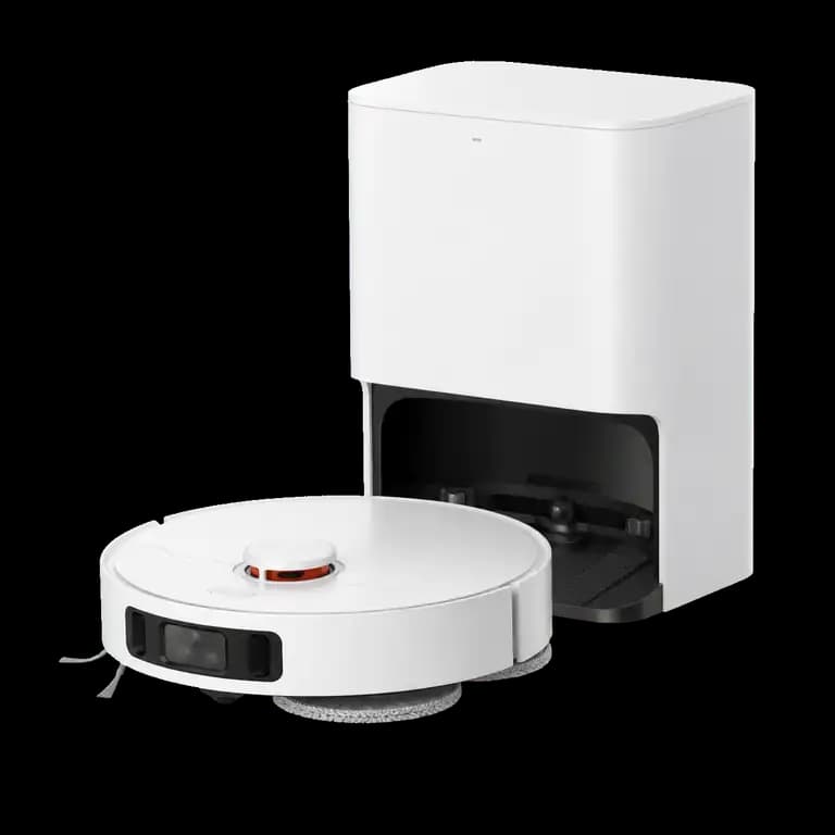
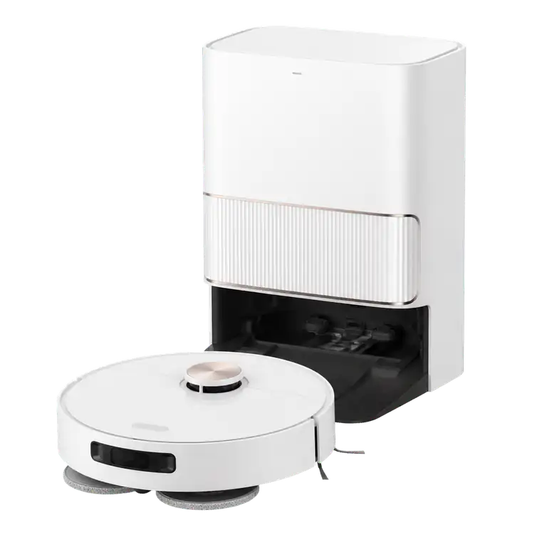
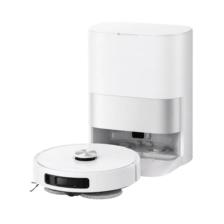
What LiDAR detects
LiDAR measures distances and uses them to create a spatial map. This allows for planned paths and zone cleaning without requiring a color image of the room.
Limits without image recognition
You should continue to put away cables, socks, small toys or shallow pet bowls. Additional 3D or infrared sensors can help, but do not necessarily recognize objects semantically.
Comprehensively check data protection
It's not just the camera that counts. Read the privacy policy, app permissions, account deletion and possible cloud functions of the specific model offered.
Limits this selection
- Without camera does not automatically mean without cloud or data collection.
- LiDAR also creates a map of the living space.
- Model variants of the same series may have different sensors.
Sources
Source: August 26, 2026 . Manufacturer specifications are identified as such and are not presented as our own measurements.